New Twelve Inch Terrestrial Globe 1891 By Rand Mcnally

Vintage Illustrated Antique Map
Related Products:
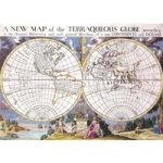 A New Map Of The Terraqueous Globe
 Antique Map Of The World Map Of Asia by Jan Jansson 1632
 1852 Vuillemin Map of the British Isles
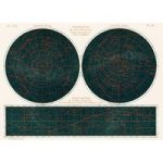 Constellations of the Two Hemispheres (1877)
 Eastern Division Of Paris 1834 By W B Clarke And James Shury
 Antique World Map Double Hemisphere Map by Henricus Hondius 1630
 A cartographic map of the British Isles published in 1900
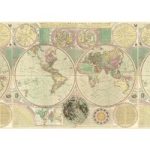 Bowles New and Accurate Map of the World by Dialing
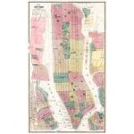 1869 New York City and Vicinity Map by Matthew Dripps
 New Correct Map of the World from 1702
 America map from Grand voyages 1596 by Theodor de Bry
 1863 Map of South America and Political Divisions
 Map Of The Arctic from 1598
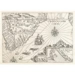 Vintage Oceanic Map
 Vintage Geological Chart
 A Map of Bombs on London 1919
 Whitbreads New Plan Of London 1853
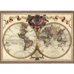 Decorative Antique Map Showing Nautical Exploration Routes
 A new map of Great Britain by Herman Moll
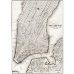 1850 New York City Map Black and White
 Irish Free State & Northern Ireland Map from 1929 By Macdonald Gil
 Coltons Map of the World on Mercators Projection 1858
 Brooklyn Fire Insurance Map New York 1888
 17th Centure European Map
 Vintage Map of America from 1640 by Abraham Goos
 Map Of Kyoto 1863 By Takebara Kahei
 The New York World Fair Map 1939
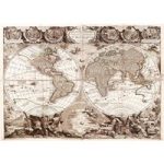 Vintage Illustrated Double Hemisphere World Map
 North Coast Of England And Newcastle Upon Tyne
 Eastern Hemisphere Map from 1808
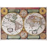 Vintage Map of the World with Both Hempispheres
 Bacons standard map of Europe by George Washington Bacon
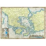 Vintage Map Of Greece By Abraham Ortelius
 1782 Janvier Map Of Europe
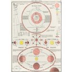 New Ideal Atlas Solar System and Phases of the Moon from 1909
 Matthaus Merian Map of Europe
 New York City From Two Miles Up In The Air 1922
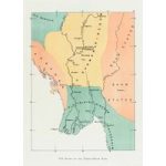 Map of the old Burman kingdom from 1906
 Old Map Of The Normandie Coast
 Antique Maps of Asia Abraham Ortelius from 1570


